

Bibbulmun Track Map
Bibblulmun Track FoundationWrite a Review
Bibblulmun Track Foundation
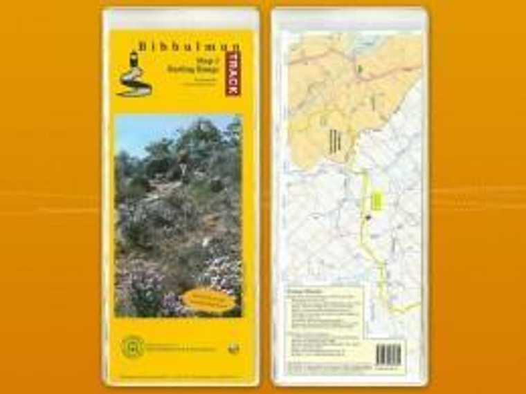
Bibbulmun Track Map
Bibbulmun Track Maps – Your Essential Guide to Hiking Western Australia
Plan your adventure. Navigate with confidence. Discover the Bibbulmun Track.
Explore one of Australia's most iconic long-distance walking trails with the Bibbulmun Track Maps, essential companions for anyone planning to hike Western Australia's spectacular 1,000km trail from Kalamunda in the Perth Hills to Albany on the south coast.
Whether you're heading out for a short day walk, planning a weekend escape, tackling a multi-day section or preparing for an end-to-end thru-hike, these detailed hiking maps help you plan your route and navigate the trail.
The Bibbulmun Track winds through some of Western Australia's most beautiful landscapes, from towering jarrah and karri forests to rolling hills, wildflower country and breathtaking coastal scenery.
With maps covering individual sections of the track, you can select the areas you want to explore and prepare for your next adventure.
Key Features
-
Bibbulmun Track Coverage: Maps covering the approximately 1,000km walking trail between Kalamunda and Albany.
-
Detailed Trail Information: Follow the route and identify important features along your chosen section.
-
Trip Planning: Useful for identifying access points, distances and overnight stops.
-
Day Walks to Thru-Hikes: Suitable for short walks, overnight hikes, multi-day adventures and end-to-end journeys.
-
Section-Based Navigation: Choose the maps relevant to your planned hiking route.
-
Essential Hiking Resource: A valuable addition to your navigation equipment when exploring remote sections of the track.
Explore the Bibbulmun Track
The Bibbulmun Track is divided into eight main map sections:
-
Northern Terminus – Dwellingup: Kalamunda to Dwellingup
-
Dwellingup: Dwellingup to Collie
-
Collie: Collie to Balingup
-
Blackwood: Balingup to Donnelly River Village
-
Donnelly: Donnelly River Village to Pemberton
-
Pemberton: Pemberton to Northcliffe
-
Northcliffe: Northcliffe to Walpole
-
Southern Terminus: Walpole to Albany
Each section offers a different hiking experience, from the forests of the Darling Range to the magnificent coastline of Western Australia's Great Southern region.
Who Are Bibbulmun Track Maps For?
-
Day Hikers: Discover local walks and plan your next trail adventure.
-
Weekend Walkers: Organise overnight hikes and short escapes.
-
Multi-Day Hikers: Prepare routes, food supplies and overnight stops.
-
End-to-End Hikers: Plan your journey along the entire Bibbulmun Track.
-
First-Time Bushwalkers: Build confidence with dedicated trail navigation resources.
Why Buy Bibbulmun Track Maps from Tribe&Trail?
At Tribe&Trail, we're passionate about helping people discover Western Australia's incredible walking and hiking trails.
As a Bibbulmun Track Foundation Walker Friendly Business, we're proud to support the hiking community with practical gear, personalised advice and a genuine passion for getting outdoors.
Visit our Leederville store to explore our range of hiking footwear, backpacks, hydration, trekking poles and essential equipment for your Bibbulmun Track adventure.
Whether you're planning your first overnight hike or preparing to walk the full 1,000km, we're here to help you get trail-ready.
Run | Hike | Walk — For Every Trail.